
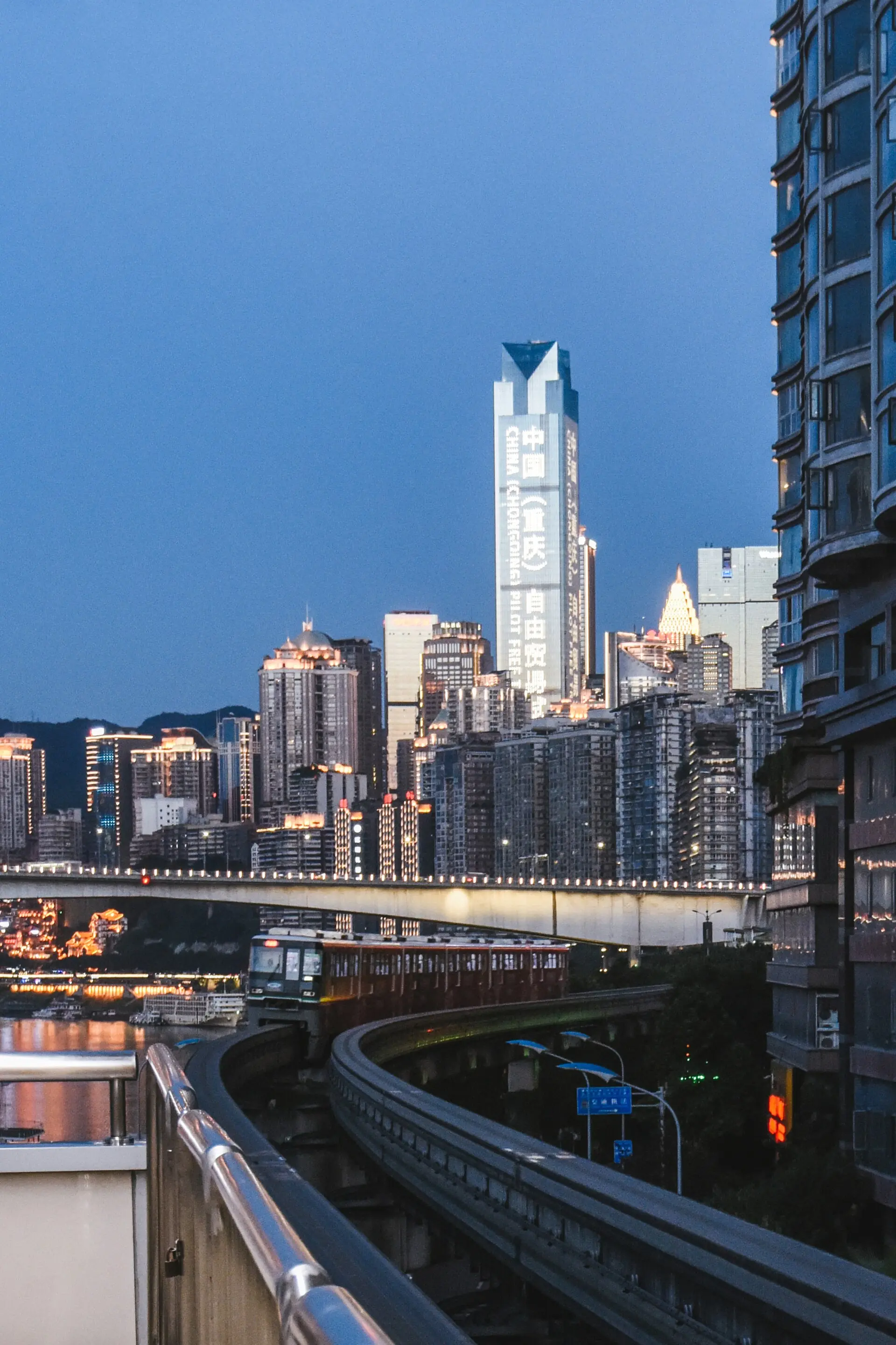

Online, Chongqing is frequently presented as a spatial trick: a train passes through a building, a ground-floor door opens high above another street, and navigation appears to fail. Those images are striking. Calling the city a maze, however, turns everyday infrastructure into a visual prank and leaves the terrain unexplained.
Central Chongqing sits where the Yangtze and Jialing rivers meet, with pronounced elevation differences across hills, ridges and valleys. The municipal geography profile gives the central urban area’s elevation as roughly 168 to 400 metres. A flat map compresses that vertical difference into almost nothing. People moving through the city cannot.
“Near” requires a vertical measurement
Two points can be close in plan view but separated by a cliff, retaining wall, riverbank or several building levels. A third point that looks farther away may be easier to reach because a bridge, station concourse or gradual road connects it.
This changes the ordinary meaning of a block. On a flat grid, distance is mostly horizontal and intersections organise choice. In Chongqing, the useful unit is often a sequence: street, stairs, indoor passage, lift, terrace, bridge, station. Missing one vertical connector can matter more than walking an extra 500 metres.
It also explains addresses that feel wrong to visitors. “Ground level” belongs to the entrance being used, not to one universal plane. A building may meet streets at different floors. A shopping centre can function as part of a pedestrian route because its escalators and exits bridge levels that the exterior terrain keeps apart.
Transit includes the join between modes
Rail lines receive attention because they make the terrain visible. Elevated track, tunnels, deep stations and river crossings appear in quick succession. Yet the system is not solved by the vehicle alone. The difficult part is often how passengers reach the platform and continue from the station into a steep district.
Escalators, public lifts, long stairways, footbridges and station passages are therefore not secondary conveniences. They are short pieces of vertical public transport. They reduce the effective slope of a route, carry large flows between levels and turn disconnected streets into a usable network.
Chongqing’s urban-design guidance explicitly treats its three-dimensional form as a defining condition. It calls for design that responds to mountains, rivers, public experience and the continuity of pedestrian space. That planning language is more useful than the “cyberpunk” label because it points to an actual design problem: how to keep movement legible when city space occupies multiple layers.
The famous images show interfaces
The rail line at Liziba, passing through a building, is often framed as a collision between train and architecture. A better reading is interface design. Dense terrain and existing urban form require transport, structure, noise control, access and development to be negotiated in the same limited space.
The same applies to a lift that connects two streets. It is visually modest but institutionally complex: someone builds, operates, maintains and secures a machine that has become part of a public route. When it closes, the alternative may be a steep and lengthy detour.
A photograph isolates the improbable object. Daily use depends on the less photogenic joins: signs, exits, operating hours, barrier-free routes, drainage, lighting and the distance from a station door to the next connector.
Navigation should use checkpoints, not confidence
For a first visit, build a route from named checkpoints. Confirm the station exit, the target building level and the next vertical connector before moving. Treat a mall or public building named in the route as infrastructure, not an optional landmark. If a map proposes a short walk with a large elevation change, inspect the pedestrian directions and recent local information rather than assuming a direct staircase exists.
River orientation helps at the largest scale, but it does not replace level information. Being able to see the opposite bank does not tell you how to descend to a bridge approach. A road visible below may require walking away from it to reach a safe connection.
This is not unique to Chongqing; many hill cities demand vertical reasoning. Chongqing makes the logic unusually explicit because differences in elevation are large, dense development occupies the slopes and public transport operates across several spatial layers.
What the spectacle leaves out
Vertical circulation can be tiring and unequal. Stairs that create a dramatic route can exclude someone with luggage, a wheelchair or limited mobility. Lifts and escalators add dependence on maintenance. Dense layered spaces can be difficult to read under time pressure.
The city’s form should therefore not be romanticised as frictionless technological ingenuity. It is a continuing negotiation with terrain. The achievement is not that gravity disappeared. It is that many pieces of transport, architecture and public passage make a steep city function—and that the quality of those connections still varies.
Sources and scope
- Chongqing Municipal Government: Geography — terrain, rivers and central-city elevation.
- Chongqing Urban Design Technical Guide — official planning principles for three-dimensional city form and public space.
This is a city-reading guide, not live navigation. Lift access, station exits and pedestrian connections can close or change; verify the specific route before relying on it.