
Two places can be three kilometres apart and belong to different journeys.
A river crossing, an elevated road, a station transfer, a mountain slope or the wrong terminal can add more friction than the distance on a map. This is true in cities everywhere, but the six gateway cities make the differences unusually visible.
Instead of asking “how far?”, separate the trip into four parts:
- access to the first station or stop;
- the main high-capacity ride;
- any transfer between systems;
- the final street, bridge, slope or building entrance.
The longest part is not always the hardest.
Beijing: scale punishes unnecessary crossings
Beijing’s broad roads, rings and large blocks can make a destination visible long before it becomes reachable. A metro line may carry most of the distance efficiently, while station access and a cross-town transfer consume the remaining effort.
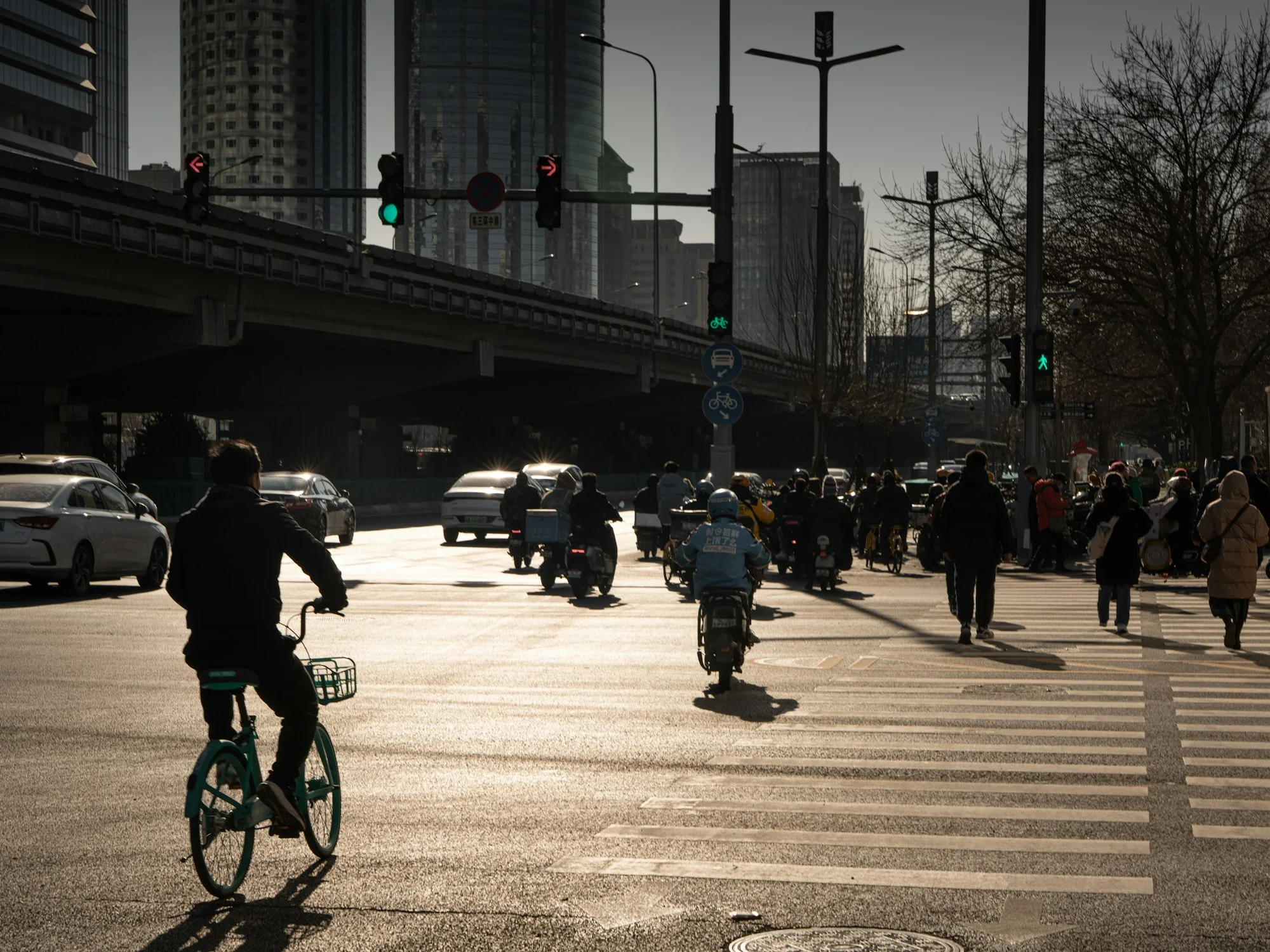
At Guomao, elevated roads, traffic lanes, bicycles, scooters and pedestrians occupy the same frame. The image shows choice and friction together. Each mode has its own path; switching between them requires a specific crossing, curb or entrance.
The practical rule is simple: group an evening by district. A famous venue on the opposite side of the city is not “one more stop” merely because the map fits on one screen.
Shanghai: the transfer is part of the design
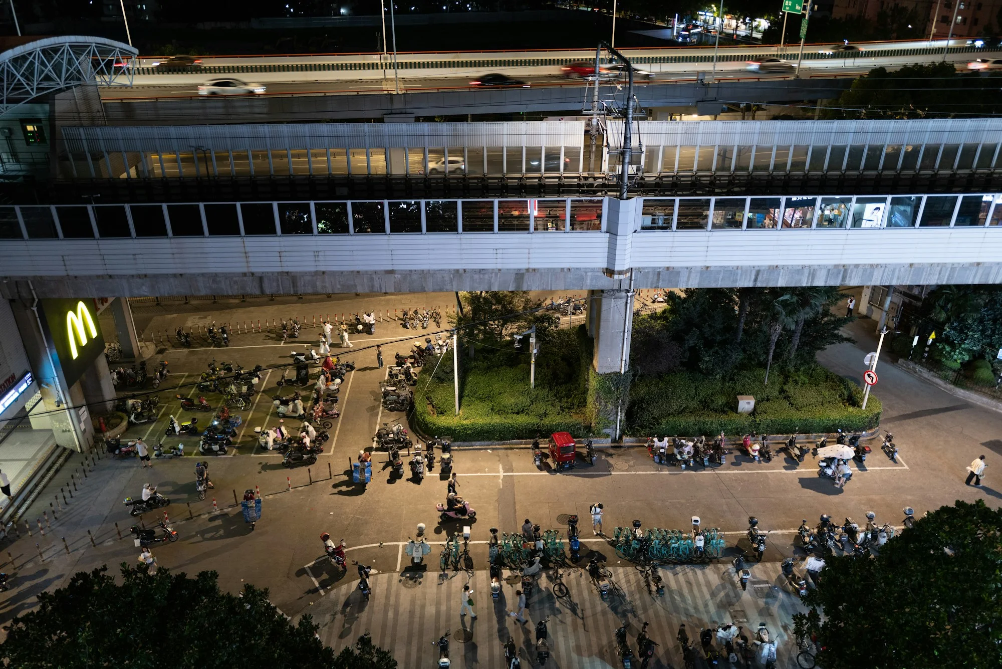
Shanghai often makes several transport layers visible at once. Elevated rail, roads, bicycles and pedestrians can share one block without sharing one entrance.
The city rewards route reading. A direct Line 2 journey may be easy; a transfer between airport, suburban rail, metro and street can involve more decisions. Hongqiao’s concentration of airport, railway and metro functions feels different from Pudong’s long eastern approach.
Do not compare only scheduled ride time. Add walking inside the hub, the correct terminal or concourse, and the final station exit.
Guangzhou: water and north–south length change proximity
The Pearl River creates views and centres, but crossings determine practical access. A destination across the water can be visually close and operationally dependent on one bridge, tunnel or metro route.
Guangzhou also extends a long way north toward its airport and south through Panyu into the wider delta. The useful question is not whether a place is “in Guangzhou.” It is whether the route stays on one line and one side of the river.
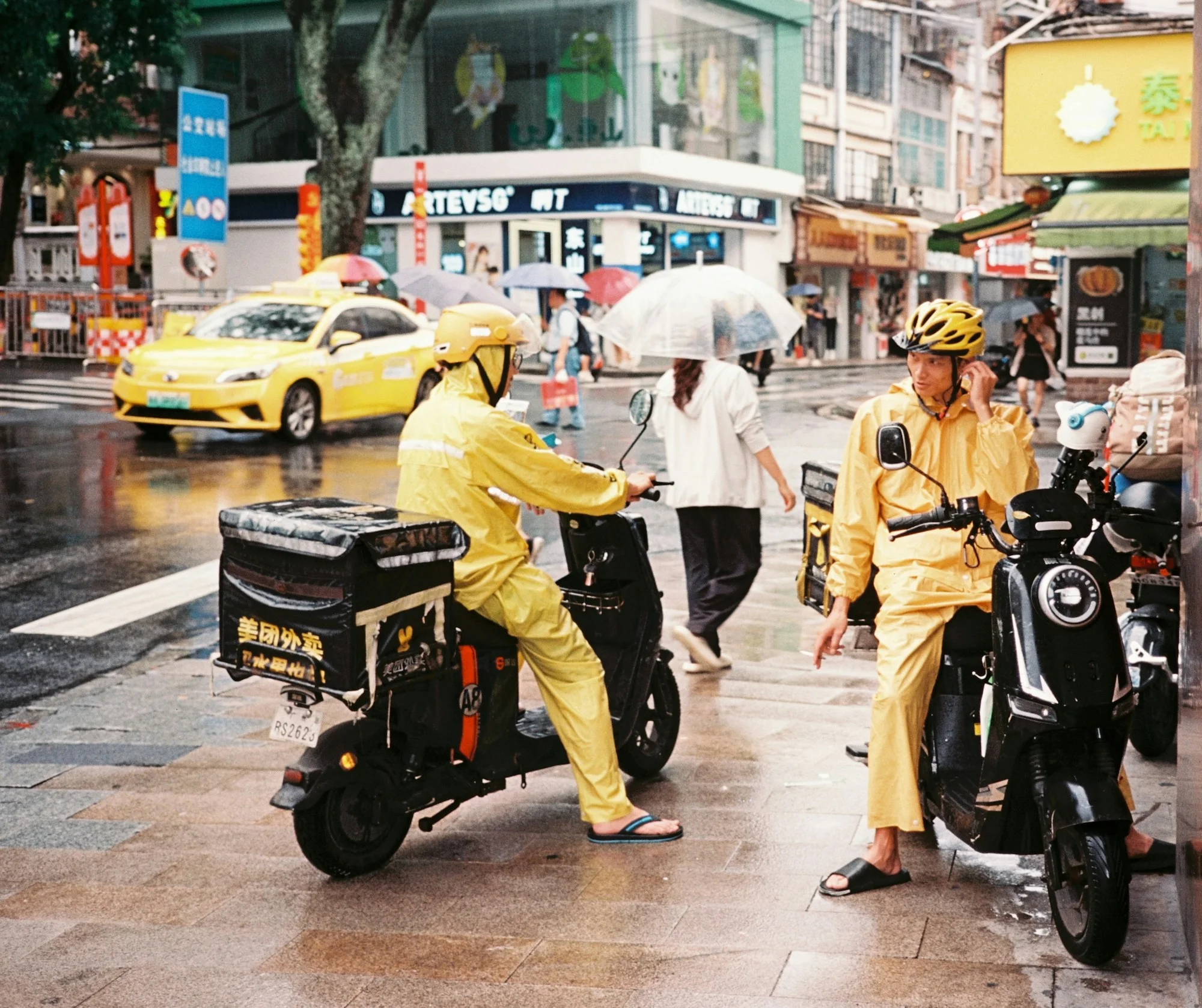
Rain adds another layer. Delivery riders in wet streets reveal the final kilometre that a clean transit map leaves out.
Shenyang: one strong north–south line changes the first arrival
Shenyang’s Metro Line 2 connects Taoxian Airport with major central areas and rail hubs. That direct relationship can make arrival easier than the airport’s map distance suggests.
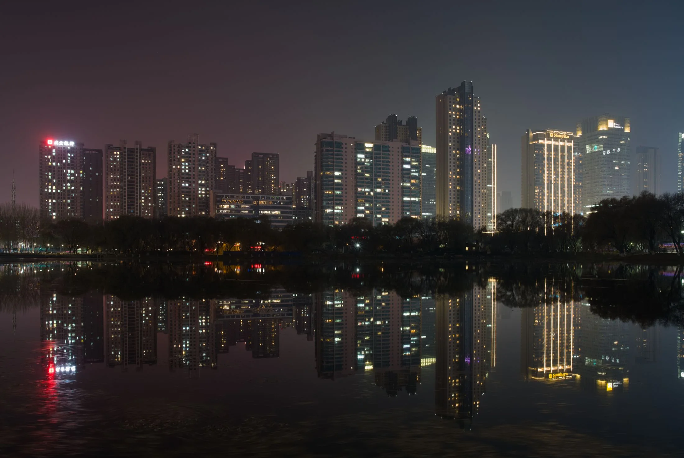
Once away from the line, the experience changes. The historic centre, Tiexi’s industrial districts and other destinations require their own transfer and street logic. A dark park lake may look calm and central; the important question is which station edge and street crossing reach it.
Wuhan: the river crossing is never background
Wuhan’s three-town structure means that a route should begin by identifying the bank. The metro and bridges make cross-river travel routine, but the crossing is still a structural part of the trip.
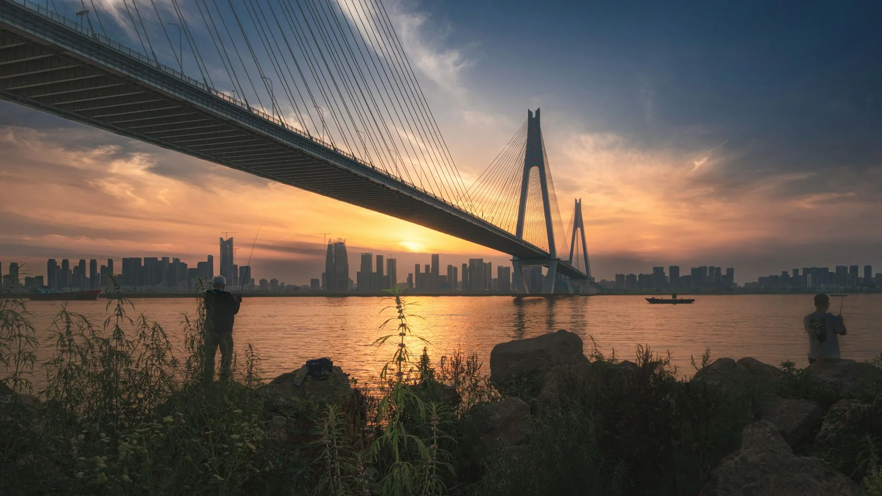
A photograph of people fishing below a major bridge captures the scale difference. Metropolitan infrastructure crosses the Yangtze high above an ordinary riverbank activity. The two coexist, but access between them is not automatic.
When choosing accommodation or meetings, name Hankou, Wuchang or Hanyang before deciding that two points are close.
Hong Kong: vertical distance belongs in the route
Hong Kong’s network can compress long distances between rail nodes. The final approach may then add stairs, escalators, footbridges, steep streets or a wait for a bus.
This makes the city both easy and deceptively demanding. A station-to-station estimate can be accurate while the door-to-door experience feels very different. Luggage, rain, heat and accessibility needs amplify the final segment.
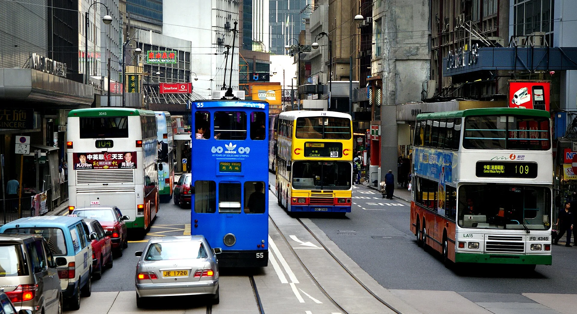
The transport system is layered because the terrain requires it. Ferry, tram, bus, rail and walking are not interchangeable decorations; each solves a different geometry.
A five-question route test
Before accepting any journey estimate, ask:
| Question | Why it matters |
|---|---|
| Is there a river, expressway or rail yard between the points? | A short line on the map may have few crossings |
| Does the route stay on one line? | Transfers add navigation and waiting uncertainty |
| How large is the origin or destination hub? | Platform-to-exit walking can be substantial |
| What happens after the final station? | Slopes, footbridges and large blocks appear here |
| What is the fallback after the last regular service? | The route must still work when the preferred layer disappears |
This is a planning method, not a promise of travel time. Live conditions, service changes, crowding and weather need a current transport source.
Sources and scope
- Beijing Municipal Government: city information
- Shanghai Municipal Government: city overview
- Guangzhou Municipal Government: city profile
- Liaoning Provincial Government: Shenyang profile
- Wuhan Municipal Government: city overview and transport-hub context
- Hong Kong Transport Department: Annual Transport Digest 2025
The sources establish geographic and transport structure. No live route, current departure or universal journey time is inferred from them.
One useful next step
Use this transfer test with one city guide. If the plan cannot name the bank, district, terminal or last connection, it is not ready yet.
.jpg)